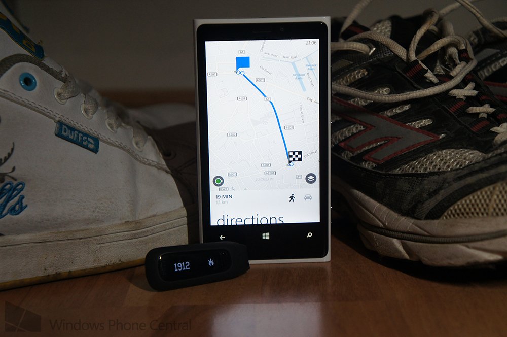
Fancy driving or catching public transport? Why not take a stroll with your Windows Phone?

You're going to get behind the wheel? No, you want to catch the bus? Hold it, dear chap! Instead, since it's Mobile Nations Fitness Month, why don't you make use of the pedestrian functionality in the Windows Phone Maps app? Stretch those legs, turn up the beats and introduce your favourite swagger to the unexpected public.
There's nothing like a casual stroll on a Friday afternoon, right? Planning a walking route is an easy feature to overlook when not used on a regular basis but it is a simple feature to make use of. A feature that will help you get to and from your destination and burn a few calories along the way.
There's a neat option in the Maps app, available for Windows Phone. When searching for directions to a POI (Point of Interest) or simply your destination, you have the choice in viewing a calculated route for both public transport and driving a vehicle. There's a third option, for pedestrians. This is the tool you can use to help dust off those walking boots and accumulating some serious step counts.
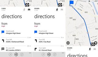
- First, we need to fire up the Maps app (Nokia Maps or Bing Maps). Once it's loaded, hit the action bar ("...") to bring up the menu and select "directions" (or hit the arrow if you're using the Bing UI).
- This is where the magic happens. Be sure to select John the Walker next to Percy the Bus. The icon should light up black and we're good to go. Simply fill in your start and destination and the app will then calculate the best route for you to walk. With the Bing UI the walker icon appears after you enter the destination.

We've found the instructions for pedestrians to be pretty accurate and have managed to reach destinations quicker than the provided ETA. But why should you make use of this feature, you ask? Since it's Fitness Month and we're all getting our pedometers out the drawer, it makes sense to accumulate as many steps as possible to both burn the calories and brag to friends.
Another reason to utilise the walking directions is to beat traffic. If you're used to congested cities and towns, London being a prime example, you've probably evacuated the train or bus when you notice that the general public appear to be traveling faster on two legs. Using the Maps app to find the best route to a location within a busy city provides more incentive to beat the traffic (especially buses) and get to wherever you need to be promptly.
Try it out for work or school. If you commute into a city and use public transport, why not take out your pedometer, calculate the quickest route to walk using Windows Phone and see how much longer it takes for you to get to and from the office / building. Then do the usual journey with the device and compare the two routes - while walking may take longer, do note that you could well be burning more energy on foot.
Speaking of which, do you own a Fitbit tracker? If so, then be sure to join the public Windows Phone Central group to compare your progress with everyone else, help motivate others and ensure you're motivated to continue exercising. The Windows Phone Central team have been rocking hard with the devices to see just how much we burn.
Get the Windows Central Newsletter
All the latest news, reviews, and guides for Windows and Xbox diehards.

Rich Edmonds was formerly a Senior Editor of PC hardware at Windows Central, covering everything related to PC components and NAS. He's been involved in technology for more than a decade and knows a thing or two about the magic inside a PC chassis. You can follow him on Twitter at @RichEdmonds.